![]()
![]()
Chastreix
Pédestre
 CHIEN INTERDIT
Distance : 12.5 km
Durée : 3h30
Difficulté : Modéré
Tracé : Boucle
Dénivelé : 315 m
Balisage : Yellow
dsio.detail.telecharger
dsio.detail.accesPoint
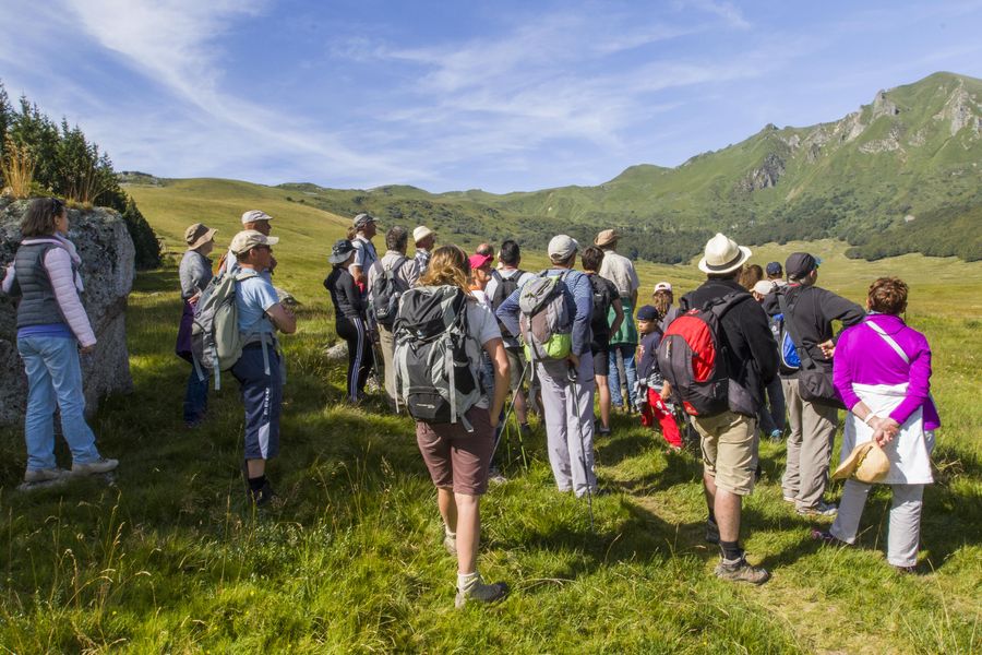
In Chastreix, near La Tour d’Auvergne, (Sancy massif, 70 km south-west of Clermont-Ferrand), place de l’Église.
dsio.detail.topo
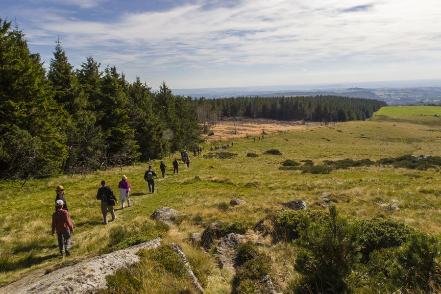
Étape 1 : From the start sign, descend below the church. Pass the town hall, go straight on for 150 m and turn right. After the deer farm, turn right, climb up to a post signposting “les Essards” and continue on the path down into the valley via a flight of steps. Cross the stream and climb into the beech forest (view of the Sancy massif). Join a nice path and go as far as the entrance to Chauvet.
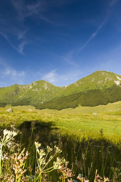
Étape 2 : Cross it (bread oven). At the exit, 10 m further on, turn left onto a track as far as Rimat. Take the asphalt road up to the edge of the wood. At the entrance to the Augères-Hautes sectional forest, turn left for 2 km to the T-junction (view of the Sancy).
Étape 3 : Turn left, then right at the crossroads. After the buron des Lades, turn left onto a grassy path. After 50 m, turn right. Cross the stream, then after 50 m turn right and go down through the beech forest to the T-junction.
Étape 4 : Go left down to the stream, cross it and continue to Reboisson, which you cross. Follow the road for 750 m. At the wooden house, take the road to the right for 100 m and turn right at the entrance to the hamlet of La Vessaire. Follow the level path to the D615 road. Turn left on this for 200 m, enter the fields on the left through a gate, turn right and walk down the meadow alongside the hedge to find the path back to the start.Proposed and managed by the Conseil départemental du Puy-de-Dôme – PDIPR.
dsio.detail.topo
Opening
From 01/01 to 31/12 daily.
Subject to favorable weather.
dsio.detail.complement
Forest location, Mountain location
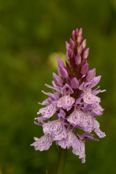
For your own safety, always take a bottle of water, a hat, warm clothing and footwear suitable for walking.Depending on weather conditions, certain itineraries are not recommended in bad weather (fog) or are not practicable, or even forbidden, during the winter season.Some sites are fragile, so stay on the marked trails. Avoid picking wild flowers and disturbing wildlife. Pick up your garbage.Animals are not allowed on some routes.
dsio.detail.maj29 May 2026