
Crédits photo bandeau Le Lac de Montcineyre sur le GR30 Tour des Lacs d'Auvergne
From La Bourboule or Le Mont-Dore, at the foot of Puy de Sancy, the highest mountain in the Massif Central, the GR®30 trail takes you across a land of lakes and volcanoes but also reveals the heritage and traditions of the villages of Auvergne.
9
days
198
km
Medium
level
5568 m
elevation gain
This loop passes close to a multitude of lakes, including Guéry, Chambon, Pavin, Chauvet, Montcineyre and the Godivelle lakes, with Puy de Sancy as a constant focal point throughout the itinerary.
On a long-distance hike along the GR®30 Tour des Lacs d’Auvergne trail, follow the red-and-white waymarkers across the green summer pastures of the Monts Dore and Chaîne des Puys mountains dotted with characteristic craters and the steppe landscape of the Cézallier mountains.
Check out the GR 30 Tour des Lac d'Auvergne trail
Added bonus
Follow the GR®30 Tour des Lacs d’Auvergne trail in June to fully appreciate the lush greenery of the flower-festooned pastures of the Massif du Sancy!
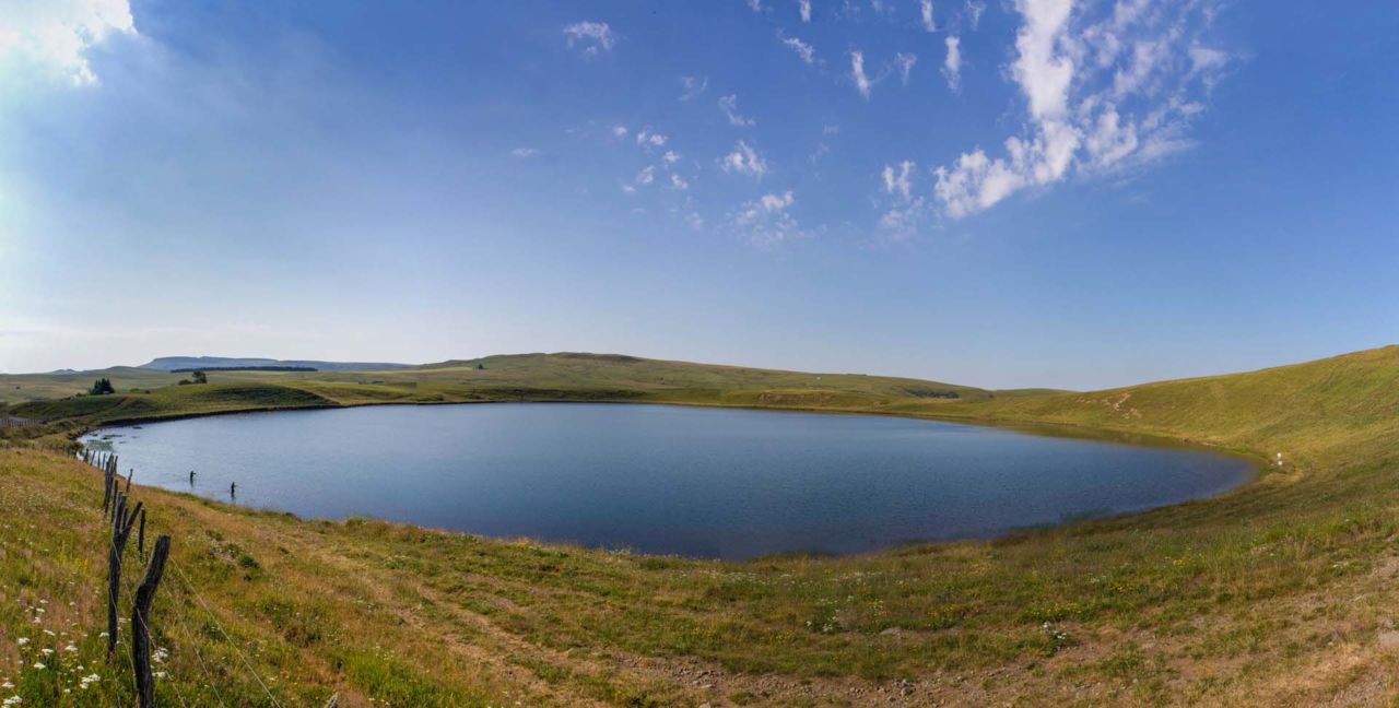
Lake En-Haut at La Godivelle
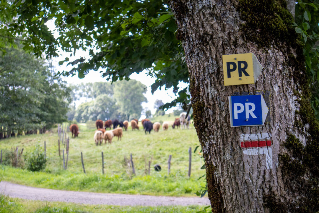
Red and white marking for the GR

Lake En-Haut at La Godivelle
Practical tip: for greater peace of mind, take a map and guidebook with you.
The GR®30 “topoguide” is a hiking guide published by the French Hiking Federation. You’ll find it online or at bookshops under the title:
The ideal map to take on the GR®30 trail is the Chaîne des Puys & Massif du Sancy Top 75 IGN map. This is available in bookshops and at the Sancy Tourist Offices.

Carte du GR 30, Tour des Lacs d'Auvergne
As you progress along the trail, you’ll visit the lovely little villages of Sancy. Stop off in Murol to admire the impressive medieval castle, or in Besse et Saint-Anastaise, officially listed as a “Petite Cité de Caractère”.
History-of-Art fans, this loop trail also offers a chance to admire one of Auvergne’s most beautiful examples of Romanesque architecture, the church of Saint-Nectaire.
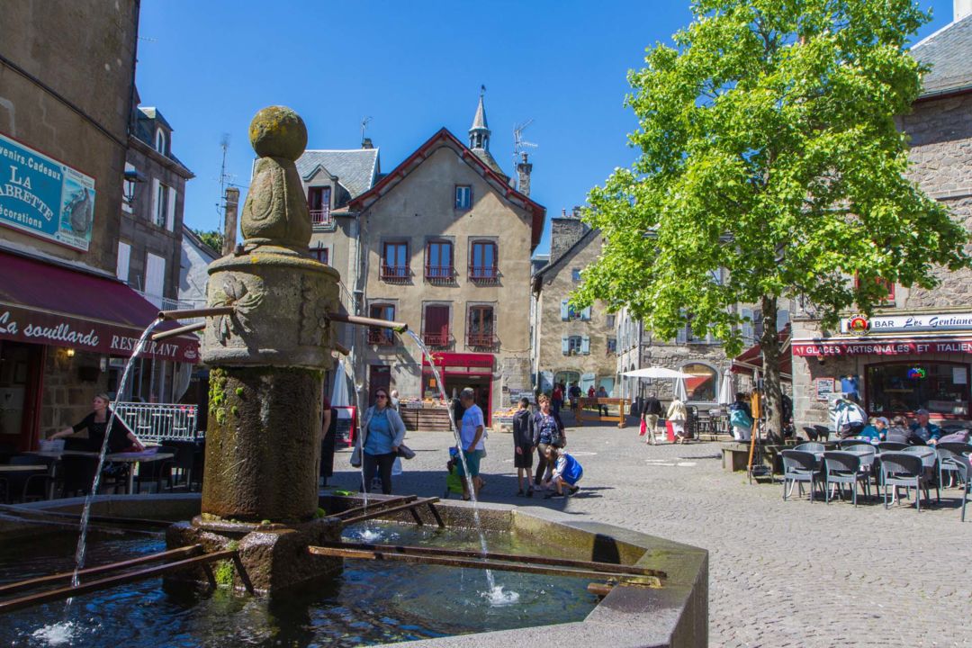
Stopover in Besse and Saint-Anastaise
Hikers are encouraged to follow a code of good practices:
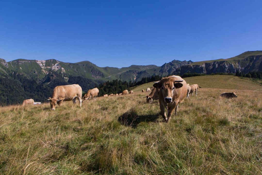
Herd of Aubrac cows in summer pasture at Capucin
Find overnight accommodation near the GR®30 trail. You'll also find provisions and restaurants at various places within 1.5km of the GR®30 trail.
List of accommodation near the GR®30 trail
Food shops near the GR®30 trail
Restaurants near the GR®30 trail
Download the GR30 trail map with practical information on where to find drinking water, toilets, showers, etc.
GR®30 trail facilities map (french)
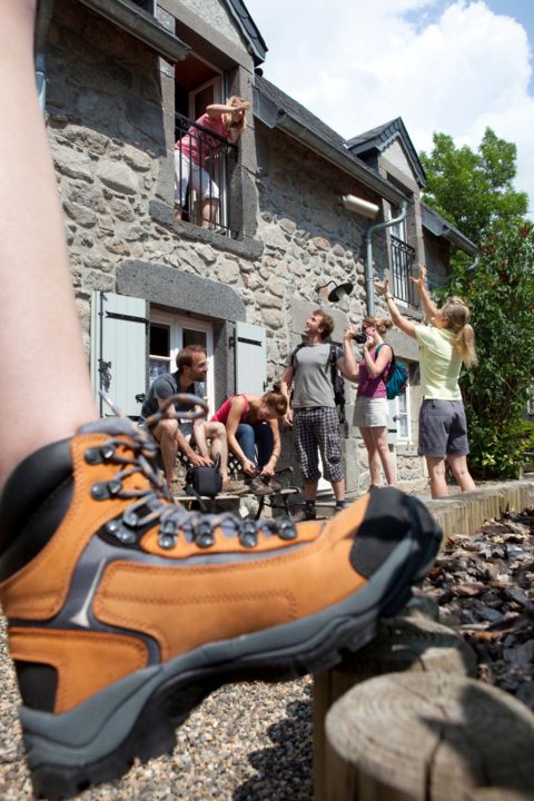
Accommodations near the GR30
Bivouacking is tolerated on long-distance hiking trails with the prior consent of the property owner.
Be aware, however, that bivouacking is not allowed in the Chastreix-Sancy and Chaudefour Valley National Nature Reserves.
2 bivouac camps are at your disposal along the way:
Full details of the Chastreix-Sancy bivouac camp
Full details of the Picherande bivouac camp
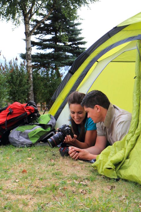
Bivouac on a long-distance trail
You also like...
