![]()
![]()

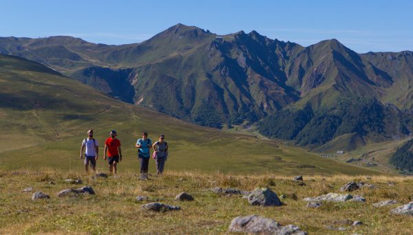
Crédits photo bandeau Préparer sa randonnée
Don’t forget to:

Going with a hiking map

Good hiking shoes

Going with a hiking map
When estimating the time it will take you, allow for the distance and elevation range. In the mountains we cover an average elevation gain of 300 to 350 metres an hour, or an elevation drop of 400 to 500 metres an hour. An elevation gain of 100 metres is roughly equivalent to walking for 1km in flat terrain.
When the guidebooks talk of “elevation gain” this refers to the gain in elevation accumulated over the whole itinerary. It gives an idea of the physical effort required. It is preferable to take with you a map with the route marked out.
Added bonus
You can also download the free SANCY EXPLORER guidance app to receive relevant information during your walks in Sancy.

Signs in the Sancy
The Sancy Boutique has a selection of hiking maps and guidebooks that you’ll find at the Sancy Tourist Offices or online.
Get organised with our hiking guidebooks and maps:

Prepare your hike with a map and topo-guide
On your way across the summer pastures to Col de la Croix Saint-Robert or Banne d’Ordanche, you may come across a working dog watching over the herds of sheep that it is there to protect. This is a patou.
A few tips on how to react:

Understanding the role of guard dogs

Nature fragile, préservons-la
Emergencies: 112
Fire brigade: 18
Emergency services: 15
Gendarmerie: 17
Emergency calls for the deaf, hard of hearing, aphasic and dysphasic: 114

Randonnée Massif du Sancy
Vous aimerez aussi...