![]()
![]()
Saint-Diéry
Pédestre
Distance : 10 km
Durée : 3h15
Difficulté : Facile
Tracé : Boucle
Dénivelé : 307 m
Balisage : Yellow
dsio.detail.telecharger
dsio.detail.accesPoint
Leave the A75 at exit 6. Continue on the D978. At Le Rivalet, continue on the D778 towards Besse as far as Le Cheix. Turn left onto the D621 towards Cotteuges. Park on the communal parking area.
dsio.detail.topo
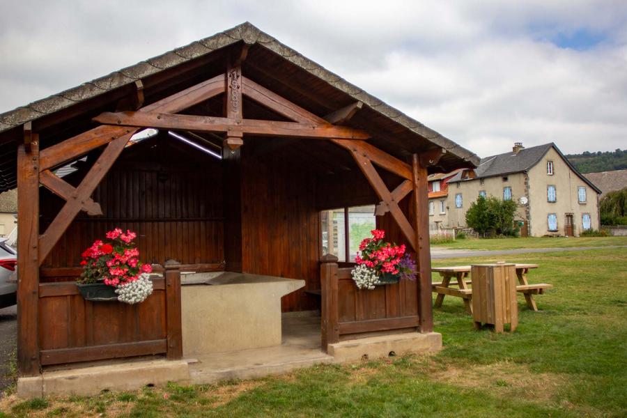
Étape 1 : From the start sign at the washhouse shelter, cross the road onto a path bordered by a low stone wall. At the road, take the dirt track opposite. At the crossroads, turn right as far as the stone bridge over the Couze Pavin.
Étape 2 : Cross the bridge and climb the steep path. After the plateau (panoramic view), turn right towards Bessole. At the road, go right for 150 m and, at the bend, take the path on the left, ignoring the adjacent paths and continuing on the balcony path. After crossing the Verneuge stream, at the “Les Niorts” intersection, turn right onto the road, then take the second road on the left, which climbs towards the Jonas caves. At the bend in the road, take the steep right-hand path (overlooking the valley) to the road.
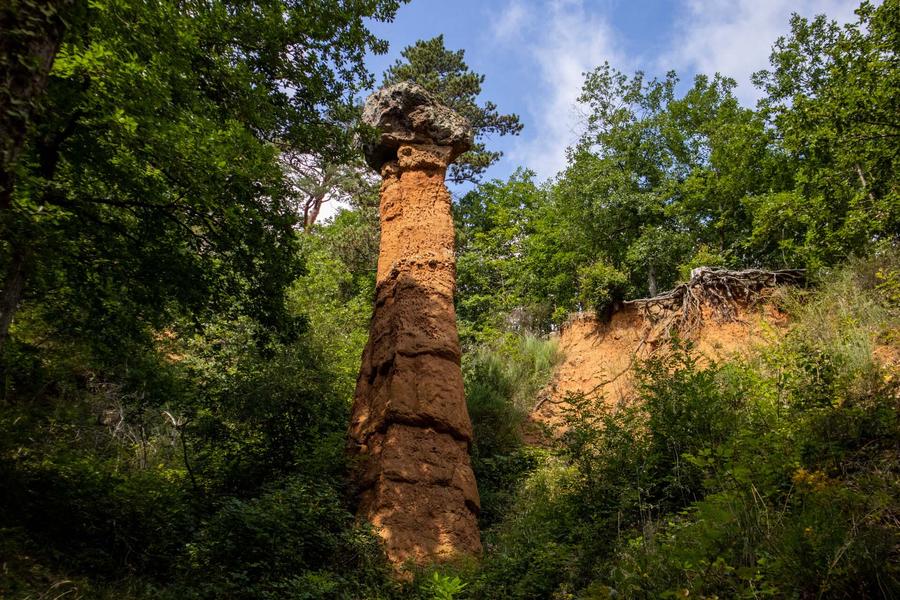
Étape 3 : Turn right downhill (Jonas caves) and continue along the road to Le Cheix (Cheix chapel, cross). Immediately after the bridge, turn right along the stream. At the road, turn right into Cotteuges, then right across the bridge for a 10-minute round trip to the Cheminée des Fées. Back at the bridge, turn right to return to the start.(Potential safety problem at Verneuge)Proposed and managed by the Conseil départemental du Puy-de-Dôme – PDIPR.
dsio.detail.topo
Opening
From 01/01 to 31/12 daily.
Subject to favorable weather.
dsio.detail.titles.equipements
dsio.detail.complement
Forest location, Near shuttle stop, Mountain view, Close to a public transportation, Presence of livestock and guard dogs
For your own safety, always take a bottle of water, a hat, warm clothing and footwear suitable for walking.Depending on weather conditions, certain itineraries are not recommended in bad weather (fog) or are not practicable, or even forbidden, during the winter season.Some sites are fragile, so stay on the marked trails. Avoid picking wild flowers and disturbing wildlife. Pick up your garbage.Animals are not allowed on some routes.
dsio.detail.animaux
Dogs must be kept on a leash due to the presence of herds.
dsio.detail.maj29 May 2026