![]()
![]()
Chambon-sur-Lac
 CHIEN INTERDIT
Distance : 12.7 km
Durée :
Tracé : Aller-retour
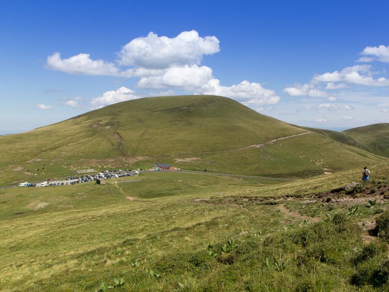
Dénivelé : 580 m
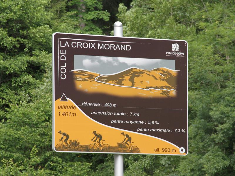
Balisage : Signpost at the start of the ascent to the pass (see photo)
dsio.detail.accesPoint
Pass between Chambon sur lac and Le Mont-Dore
Opening
From 01/04 to 31/10/2026.
Beware of weather conditions.
dsio.detail.maj26 January 2026