Mont-Dore
Pédestre
 CHIEN INTERDIT
Distance : 37.5 km
Durée : 2jours
Difficulté : Difficile
Tracé : Boucle
Dénivelé : 1590 m
Balisage : Green and white “Circuit Boucle Sancy”.
Visitor alert
Nature reserve recommendations: “To protect this exceptional natural heritage, the Chastreix-Sancy and Chaudefour Valley national nature reserves have specific regulations. Dogs are not allowed, even on a leash, except on GR® trails (marked in red and white), and bivouacs are prohibited.”
dsio.detail.telecharger
dsio.detail.accesPoint
Getting there: reach Le Mont-Dore, 44 km south-west of Clermont-Ferrand. Departure sign near the Tourist Office on Avenue de la Libération.
To park your vehicle in Le Mont-Dore for a hike lasting more than 3 days, please fill in the online form in the Documentations/Downloads section.
dsio.detail.topo
Étape 1 : From the Avenue de la Libération starting sign near the tourist office, walk down Avenue de la Libération for 80 m, then turn right onto Chemin des Mille Gouttes. Continue uphill, ignoring the side paths, until you reach the funicular station. Follow the road up to the salon du Capucin.
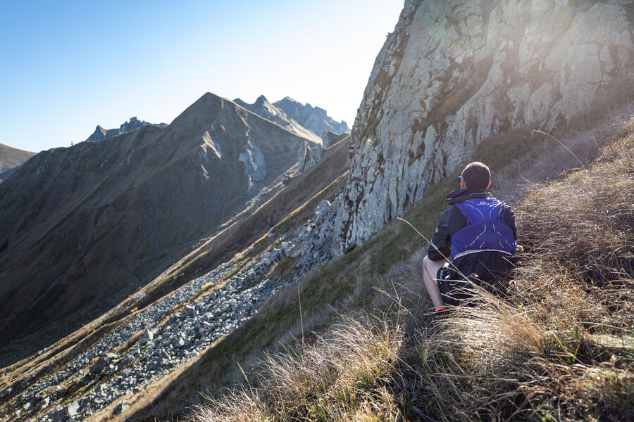
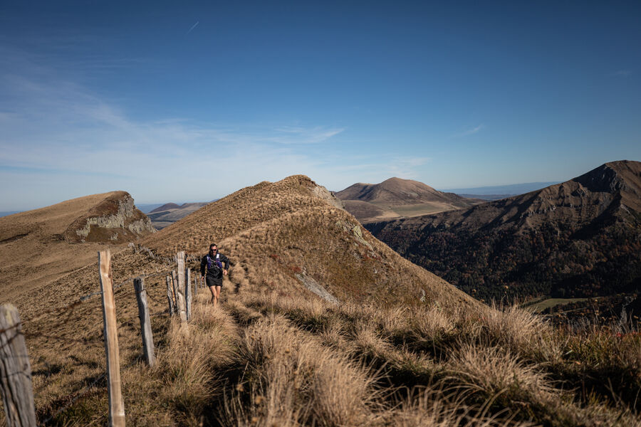
Étape 2 : At the restaurant, turn left onto the road leading up to the buron du Capucin. Cross the fence (the summit of Le Capucin is off the circuit, at 200 m) and follow the wide path leading to an old quarry. After the quarry, turn left and climb up (Chastreix-Sancy nature reserve) to the puy de Cliergue (view of the Sancy, Mont-Dore glacial valley, Chaine des Puys, Guéry plateau, Banne d’Ordanche, Chastreix plateau, Combrailles). Continue to the Tour Carrée (view of the Fontaine Salée valley, Lac Chauvet, Monts du Cantal), then to the Col de Courre.
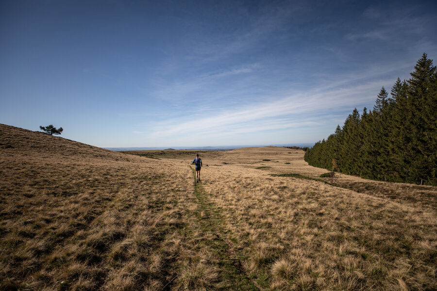
Étape 3 : Retrace your steps a little, then immediately turn left onto a path above the Fontaine Salée cirque. At the junction on a shoulder, turn right towards the towers of 2 ski lifts, then follow the “La Chambasse” trail. When you reach a ski lift, continue downhill to the right and follow a wide, stony track passing under the ski lifts and leading to a road. Turn right through Chastreix-Sancy. At the end of a large right-hand bend, turn right down the track. At the crossroads, take the left-hand path towards Chastreix. At the end of the forest, go through a gate and continue for 50 m until you reach a grassy track.
Étape 4 : Turn right downhill towards Chastreix and 300 m further on, turn left onto a better-marked track. Cross the pastures. Cross a fence and descend to a crossroads Click here to type text.
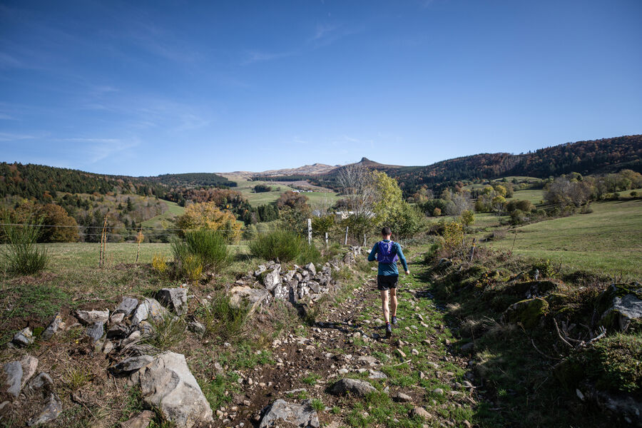
Étape 5 : Go down the right-hand track. At the road, take the right-hand path. Continue through the forest until you reach a second road (D 88), which you take to the left for 200 m. Turn right towards La Pinderie (view of Roc de Courlande, Chastreix-Sancy and Chambourguet mountain in the distance, cross and drinking trough). Go through the village. Go straight ahead on a large gravel path that becomes grassy. Continue downhill to a T-junction. Turn left, then immediately right. Cross a stream and then the meadow opposite. Join a path coming from the houses. Cross the bridge over the Jarrige stream, then turn left. Follow the stream to the end of the field.
Étape 6 : Take the right-hand path. Enter the woods through a metal gate. Climb, ignoring the side paths. At the top of the hill, take the path on the right. Cross a stream, join the D88 road, cross it and go straight up. At the wide track, turn left, then left again. Cross the parking lot and turn right onto a wide track. Further left, go down a grassy path. Follow it through the forest to the “Les 4 Départements” crossroads. Go right, keeping as close as possible to the road, then further down to the roadside parking lot. Turn right along the parking lot until you reach the Montagne de la Roche forest road on the left.
Étape 7 : Take this road and, after 100m, climb a wide track to the right. Follow it, ignoring the side paths, until you reach a clearing (hut). Go straight ahead to La Charbonnière. Drive alongside the houses (view of the Sancy, Roche Vendeix, puy Gros, banne d’Ordanche). At the T junction, turn left towards Charlannes. At the intersection after the top of a hill, go down a forest track. Take the first track on the right and head downhill at the next two crossroads. Join a forest track, follow it to the left and go straight on to Charlannes (information panels).
Étape 8 : Turn right towards La Bourboule, leaving the Espace d’Accueil (former funicular railway) on your left, and head down a winding track. Turn left around the intermediate station of the old funicular. After 30 m, turn right and continue downhill until you reach the first houses. Turn right onto the overhanging path, pass under the funicular tracks and reach a footbridge. Cross the footbridge and turn left into Parc Fenestre. Follow the main path, passing to the left of a pond and skirting the old funicular station. At the park exit, continue straight ahead, past the town hall, over the Dordogne bridge, past the spa and turn right onto boulevard Clémenceau. At the church, turn right, cross the bridge and climb towards Parc Fenestre until you reach Montée de la Charreyre on the left.
Étape 9 : Take the Montée de la Charreyre and, at the level, turn left, pass behind the wash-house and turn right up the Chemin de Fenestre. At the end of the road, continue straight ahead (view of the Dordogne valley, Puy Gros, Ordanche banne). At the entrance to Pregnoux, turn left down the road. At a bend in the road, follow the track to the right and take the first path on the left. Cross a stream and immediately turn right. After 50 m, turn left down to the road. Cross the road, cross the bridge over the Dordogne and turn right along the river. Cross the railway line and climb up to the village of Le Genestoux.
Étape 10 : Turn right between the houses, then left for 10 m, before dropping right to the river. Cross the bridge (Source Félix) and continue upstream on the track that runs alongside the railroad line. Go up and continue along the path that crosses the river at the Compissade mill. Cross the river again by a wooden footbridge. Cross a small road at Pont du Marais and continue to a tarmac road crossing the Dordogne once again. Pass in front of the gendarmerie. Continue along rue des chasseurs alpins, then avenue de la gare. At the T-junction, turn right for 100 m and go down the stairs on your right. Cross the square and turn right towards the station. Pass the station and continue straight on to the crossroads.
Étape 11 : Take the tarmac driveway to the left. At the fork in the road, turn left towards the town center. At the traffic circle, turn right (rue Sidoine Apollinaire) and fork left in front of the hospital, then right (rue Meynadier). Drive past the casino and immediately turn right. Drive up to the crossroads, then turn left to reach the Tourist Office below on the left.Proposed and managed by the Conseil départemental du Puy-de-Dôme – PDIPR.
dsio.detail.topo
Opening
From 01/05 to 15/11/2026.
The crêtes du Sancy are generally accessible from May onwards. Please contact the Sancy tourist offices beforehand for information on access conditions.
Subject to favorable snow and weather conditions.
dsio.detail.complement
Mountain view, Mountain location
For your own safety, always take a bottle of water, a hat, warm clothing and footwear suitable for walking.
Depending on weather conditions, certain itineraries are not recommended in bad weather (fog) or are not practicable, or even forbidden, during the winter season.
The Chastreix-Sancy and Chaudefour valley national nature reserves have their own specific regulations. Dogs are not allowed, even on a leash, except on the GR®30 trail (marked in red and white).
The nature of the Sancy crests is sensitive and fragile, so let’s all be guardians of this exceptional heritage. During your walk, you’ll pass through protected natural areas.
Bivouacs are tolerated as part of a touring hike, subject to the agreement of the private landowner (the majority in the area) or the public landowner. Here are the rules to observe:
– During daylight saving time, tents must be pitched after 8 p.m., away from volcano slopes and summits, and dismantled before 8 a.m.
– Remain as invisible as possible, leave no trace of your presence and do not leave any garbage.
– All open-air fires are forbidden by prefectural decree.
However, the use of portable gas stoves is tolerated, as long as they are as safe as possible (stable, away from flammable materials, no fires on the ground, etc.).
Stay on marked paths.
Respect private property.
Bring a garbage bag to dispose of picnic, snack or other waste.
Do not disturb wildlife.
Don’t pick flowers, as many are protected (even those that seem very ordinary or common).

dsio.detail.maj29 May 2026