![]()
![]()
Picherande
Pédestre
 CHIEN INTERDIT
Distance : 16.5 km
Durée : 5h15
Difficulté : Difficile
Tracé : Boucle
Dénivelé : 590 m
Balisage : Green
dsio.detail.telecharger
dsio.detail.accesPoint
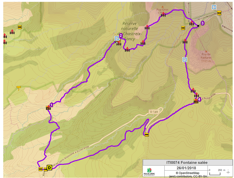
From Besse-en-Chandesse, take the D149 through Super-Besse to Chareire. Parking lot and start sign on the shoulder of the D149 at the entrance to Chareire from Super-Besse.
dsio.detail.topo
Étape 1 : Opposite the start sign, follow the road to the right for 50 m. Turn right onto a small road. Turn right onto a stony track. Ignore a track on the right (view of the Massif du Cantal). Continue into the Morangie forest. At the fork in the road, turn left. At the crossroads, go right, past a farmhouse to a road.
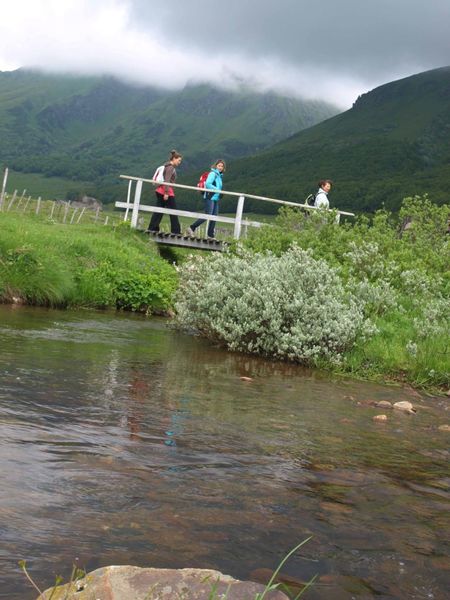
Étape 2 : Turn right, then immediately left towards Fontaine Salée. At the buildings, continue into the rocky chaos, keeping to the left. At the top, follow the left-hand path up into the beech forest. Stay on this path for about 2.5 km until you reach the entrance to the Fontaine Salée cirque (fence).
Étape 3 : Take the stepladder on the right and climb up through the meadow (viewpoints along the way). Cross a second stepladder and continue straight ahead. After the rocks, turn left to reach a fence. Cross the fence using a stepladder and climb uphill towards Puy Gros. Follow a fence on the left for 200 m, cross the stepladder and continue under the puy Gros. Turn right to start the descent, pass under two ski lifts and continue to the next step ladder.
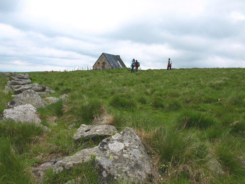
Étape 4 : Leave the GR and take the path down to the right through the meadows below the Paillaret scree (panoramic view of the Cézallier and Cantal mountains). Pass a stepladder and continue opposite towards a building. Climb two more stepladders to reach the road.
Étape 5 : Cross the road and turn right onto a short path that joins the road at Col de la Geneste. Follow the road to the left for 700 m, then turn left along the embankment. Go left down the road and after the hairpin bend, take the first track on the left and immediately turn right. Turn left at the T-junction. At the junction with a small road, continue on the track opposite to reach the starting point.Proposed and managed by the Conseil départemental du Puy-de-Dôme – PDIPR.
dsio.detail.topo
Opening
From 01/05 to 31/10 daily.
Itinerary closed when the ski area is open.
Subject to favorable weather.
dsio.detail.complement
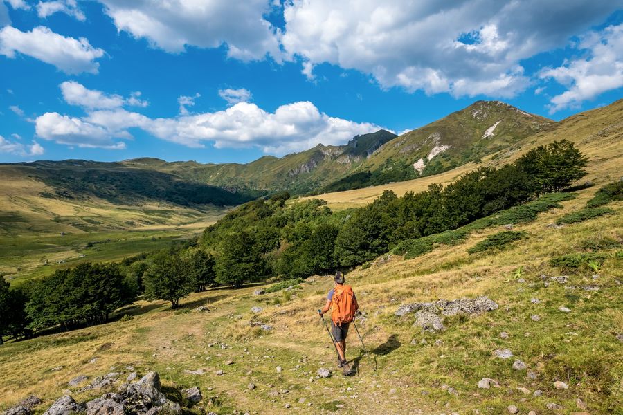
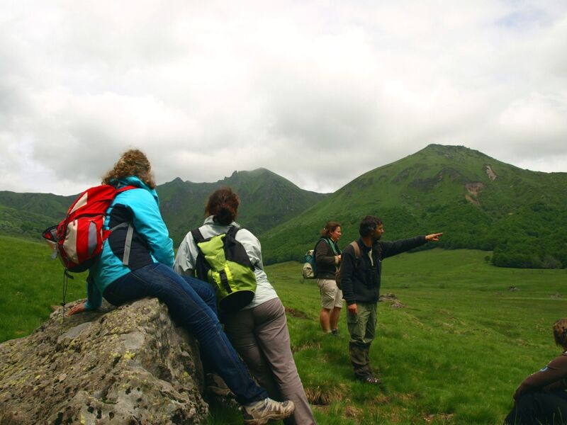
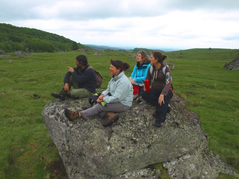
Mountain view, Mountain location
For your own safety, always take a bottle of water, a hat, warm clothing and footwear suitable for walking.
Depending on weather conditions, certain itineraries are not recommended in bad weather (fog) or are not practicable, or even forbidden, during the winter season.
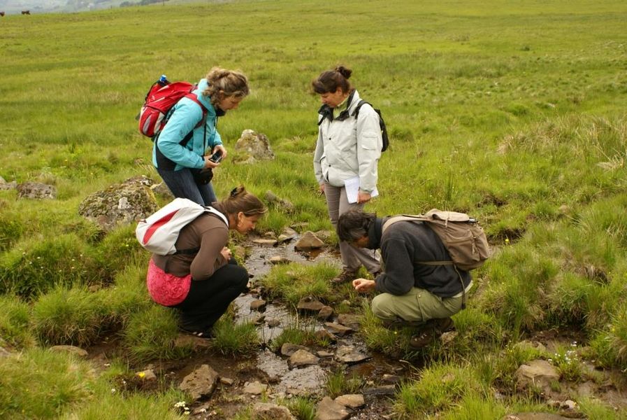
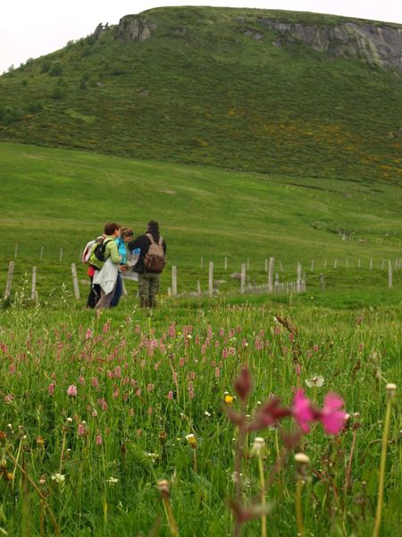
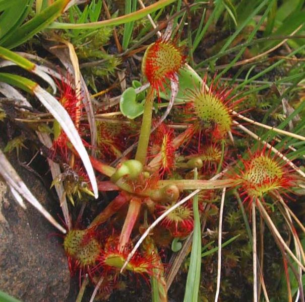
Some sites are fragile, so stay on the marked trails. Avoid picking wild flowers and disturbing wildlife. Pick up your garbage.
Animals are not allowed on some routes.
dsio.detail.maj12 June 2026