![]()
![]()
Chambon-sur-Lac
Pédestre
 CHIEN INTERDIT
Distance : 15.5 km
Durée : 5h
Difficulté : Très difficile
Tracé : Boucle
Dénivelé : 935 m
Balisage : Green
dsio.detail.telecharger
dsio.detail.accesPoint
From Chambon-sur-Lac (south of Clermont-Ferrand) take the D 637 (direction “Vallée de Chaudefour”) to Chambon-des-Neiges.
dsio.detail.topo
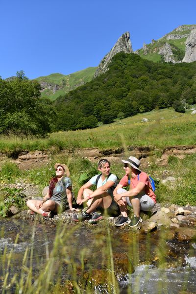
Étape 1 : From the parking lot, turn right around the restaurant and take the first track on the left. At the “Réserve Naturelle Nationale” sign, leave the right-hand path and continue straight ahead. At the crossroads in front of the “Palfichade- Gite” sign, go right into the undergrowth. At a second “Réserve Naturelle Nationale” sign, turn right. On the descent, cross a stream several times and come out onto a wide track.
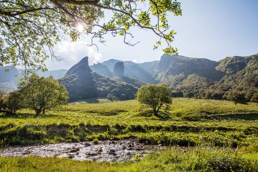
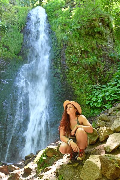
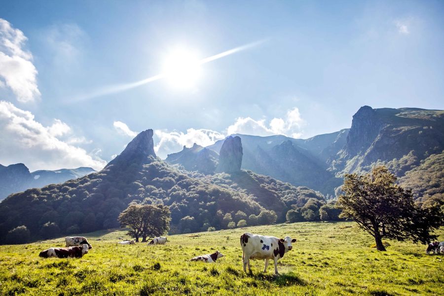
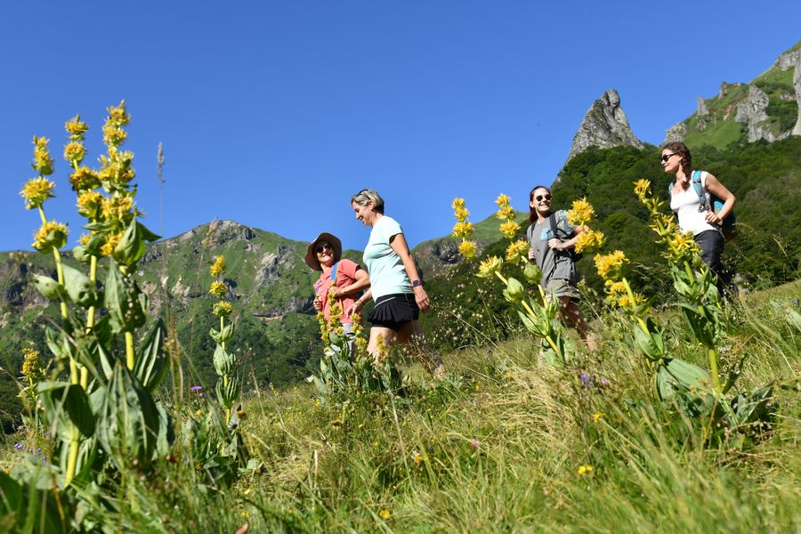
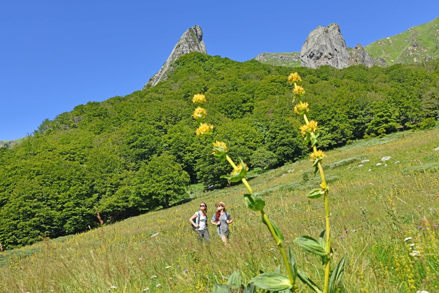
Étape 2 : Turn right as far as the entrance to the valley, marked by an explanatory sign (view of the dent de la Rancune, the crête de coq and, further on, the puy de la Perdrix and the puy Ferrand). After 50 m, turn left towards the cascade de la Biche. After the small bridge over the stream, turn right, then left, past the chicane. Climb a steep, winding slope through the undergrowth to the plateau. Cross the puy de Champgourdeix plateau to the chicane.
Étape 3 : Cross the chicane and head uphill (with a view of Super-Besse, Lac Pavin and Lac Bourdouze on the left). The path passes under the puy de la Perdrix and below the cable-car station. Head towards the puy de Sancy, leaving the puy de la Perdrix on your left. The trail passes to the left of puy Ferrand (on the left, view of the Fontaine Salée valley and Plomb du Cantal). After passing the junction of the Super-Besse and Le Mont-Dore ski lifts, descend to the Col de la Cabane.
Étape 4 : At the pass, take the wide right-hand hairpin path – GR4-. At the first fork in the road, turn right. Climb towards the Cacadogne and Crébasses puys, leaving the GR4 at the summit.
Étape 5 : Go right (view of Lac Chambon). The path leads down the Chaudefour valley to a stepladder, which you have to cross. Continue down towards the Sarreviel woods and turn left at a 2nd stepladder. Descend the track on the right into the wood, ignoring the paths on the right, to reach the starting point.Proposed and managed by the Conseil départemental du Puy-de-Dôme – PDIPR.
dsio.detail.topo
Opening
From 01/05 to 31/10 daily.
Itinerary closed when the ski area is open.
Subject to favorable weather.
dsio.detail.complement
Mountain view, Mountain location
For your own safety, always take a bottle of water, a hat, warm clothing and footwear suitable for walking.Depending on weather conditions, certain itineraries are not recommended in bad weather (fog) or are not practicable, or even forbidden, during the winter season.Some sites are fragile, so stay on the marked trails. Avoid picking wild flowers and disturbing wildlife. Pick up your garbage.Animals are not allowed on some routes.
dsio.detail.maj29 May 2026