![]()
![]()
Saint-Genès-Champespe
Pédestre
Distance : 14.5 km
Durée : 4h15
Difficulté : Modéré
Tracé : Boucle
Dénivelé : 295 m
Balisage : Green
dsio.detail.telecharger
dsio.detail.accesPoint
From Besse-en-Chandesse, follow signs for Super-Besse D978. At the traffic circle, continue on the D978. Turn right on the D203 for 5 km, then left on the D614 for 7 km and continue on the D30 to enter Saint-Genès-Champespe. Start sign is on the right-hand side of the road.
dsio.detail.topo
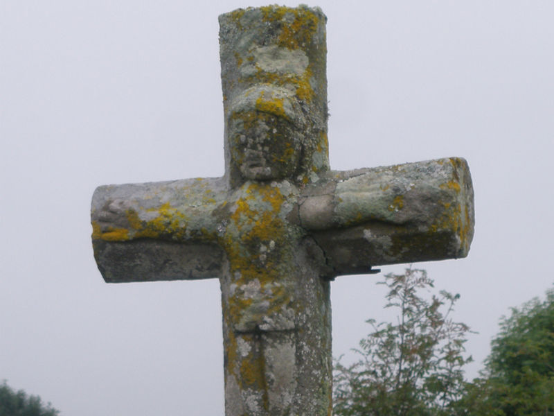
Étape 1 : From the start sign, walk past the town hall. Immediately after the war memorial, turn left down an alley between houses to the road (fountain). Turn left for about 50 m, then right. Continue along the road (carved stone cross) to the entrance to the village of Charlut.
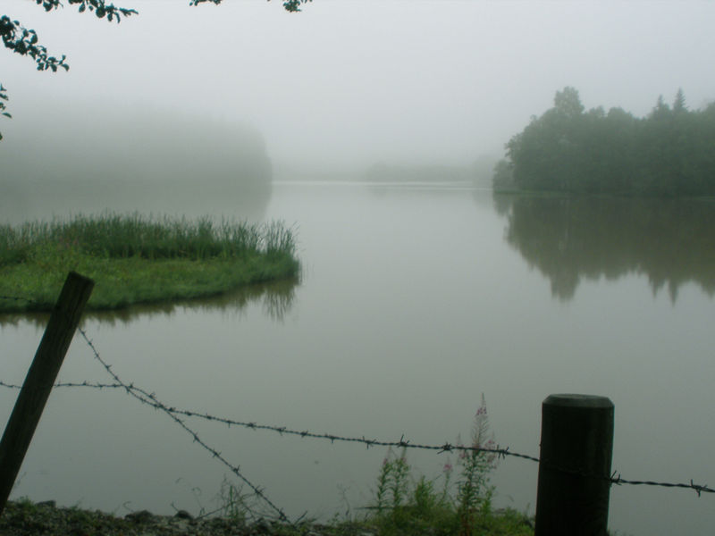
Étape 2 : Turn right onto a small grassy track, then left to join the road, which you follow to the right out of the hamlet (view of the Artense and Cantal mountains). At the fork in the road, keep to the right. Continue, ignoring all the paths on either side, for about 3.5 km to Lac du Taurons, which you follow to its spillway.
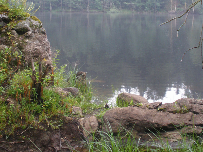
Étape 3 : Turn right. 100 m further on, after an EDF sign, turn left onto a path that leads down through the woods to the banks of the Etang de La Crégut. Follow it to a footbridge. The path joins the D30. Cross it towards Lac de La Crégut. Continue along it for about 1.5 km. At the end of the road, ignore two tracks on the left, and take the right-hand track up a steep slope along a stream. At the farm track, turn left, then left again at the next intersection. Join the farm track, which you take on the left for 50 m. Turn right into the woods. At the T junction, turn left onto a wide track and descend to a crossroads.
Étape 4 : Turn right around Lac du Tact. Take the chicane on the left and follow a track across the moor to reach the end of the lake. Turn right and climb up through the woods. At the T-junction, turn right and continue up to the entrance to the village of Laspialade.
Étape 5 : Drive through the village (view of the Monts du Cantal). At the last farm, continue along a sunken lane into the woods. At the crow’s feet, take the middle path. Stay on the main path and climb up to an intersection (ferme des Vergniauds). Turn left onto the D88. Turn right to get back to the starting point.Proposed and managed by the Conseil départemental du Puy-de-Dôme – PDIPR.
dsio.detail.topo
Opening
From 01/01 to 31/12 daily.
Subject to favorable weather.
dsio.detail.titles.equipements
dsio.detail.complement
In the country, Forest location, Presence of livestock and guard dogs
For your own safety, always take a bottle of water, a hat, warm clothing and footwear suitable for walking.Depending on weather conditions, certain itineraries are not recommended in bad weather (fog) or are not practicable, or even forbidden, during the winter season.Some sites are fragile, so stay on the marked trails. Avoid picking wild flowers and disturbing wildlife. Pick up your garbage.Animals are not allowed on some routes.
dsio.detail.animaux
Dogs must be kept on a leash due to the presence of herds.
dsio.detail.maj29 May 2026