![]()
![]()
Espinchal
Pédestre
Distance : 4 km
Durée : 1h30
Difficulté : Facile
Tracé : Boucle
Dénivelé : 158 m
Balisage : Blue
dsio.detail.telecharger
dsio.detail.accesPoint
From Besse-en-Chandesse, take the D978 to Egliseneuve d’Entraigues, then left on the D128 to Espinchal. The starting sign is located near the church.
dsio.detail.topo
Étape 1 : From the start sign, turn right down an alley after the war memorial (former Espinchal home). Cross the main road and a bridge to go right up a path. At the fork, keep right on an inconspicuous path between two rows of trees. At the road, go left for 250 m to a ladder on the right.
Étape 2 : Cross it and go down into the pasture towards a footbridge and ladder. Cross them and follow a path along the stream into the woods. The path veers to the right into the wood (at mid-slope, an orientation table 30 m away). Continue uphill to a gravel path.
Étape 3 : Cross it to take a forest track that follows the ridge and descends through the woods. Cross the D625. Head downhill. The track veers to the right and joins the road again, which you follow to the left. Pass the “Espinchal” sign. At the first crossroads, turn left down a small, winding road to the D26.
Étape 4 : Cross it, cross a bridge, then take the very steep road through the campsite. At the crossroads, turn right onto a road and return to the starting point.Proposed and managed by the Conseil départemental du Puy-de-Dôme – PDIPR.
dsio.detail.topo
Opening
From 01/01 to 31/12 daily.
Subject to favorable weather.
dsio.detail.titles.equipements
dsio.detail.complement
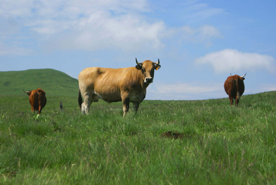
Forest location, Mountain view, Mountain location, Presence of livestock and guard dogs
For your own safety, always take a bottle of water, a hat, warm clothing and footwear suitable for walking.Depending on weather conditions, certain itineraries are not recommended in bad weather (fog) or are not practicable, or even forbidden, during the winter season.Some sites are fragile, so stay on the marked trails. Avoid picking wild flowers and disturbing wildlife. Pick up your garbage.Animals are not allowed on some routes.
dsio.detail.animaux
Dogs must be kept on a leash due to the presence of herds.
dsio.detail.maj29 May 2026