![]()
![]()
Saint-Diéry
Pédestre
Distance : 5.5 km
Durée : 1h45
Difficulté : Facile
Tracé : Boucle
Dénivelé : 180 m
Balisage : Blue
dsio.detail.telecharger
dsio.detail.accesPoint
Leaving the A75 at exit 6, continue on the D978. At Le Rivalet, continue on the D978 towards Besse. At La Bataille, turn right onto the D146 to Saint- Diery. Park in the church parking lot.
dsio.detail.topo
Étape 1 : From the start sign, go down the street behind the church, past a cross on the left and straight on to the stop sign. Follow the road for 30 m, then take the first path on the left. At a radio relay station, take a steep descent (with views of Pic Saint-Pierre, the Sancy massif and the Jonas caves) to reach the D978.
Étape 2 : Follow it to the left, taking the embankment to the left of the road (danger). At the end of the embankment, cross the road and take the path on the right. Go through the village of Cotteuges and join the D26E. Follow the road to the right, and after approx. 300 m, take the left-hand path leading to the natural site (Cheminées des Fées). Return to the road and follow it up to a large track on the left after a sharp bend.
Étape 3 : Follow it along the Couze-Pavin. Cross Le Cheix to a stone bridge, then take the right-hand track which joins the D978. Cross the road, climb the tarmac track opposite, pass a cross on the right and continue upwards. On the plateau (view of the Brionnet rock and chapel), join the D146, cross it and take the track opposite to get back to the starting point.Proposed and managed by the Conseil départemental du Puy-de-Dôme – PDIPR.
dsio.detail.topo
Opening
From 01/01 to 31/12 daily.
Subject to favorable weather.
dsio.detail.titles.equipements
dsio.detail.complement
In the country, Presence of livestock and guard dogs
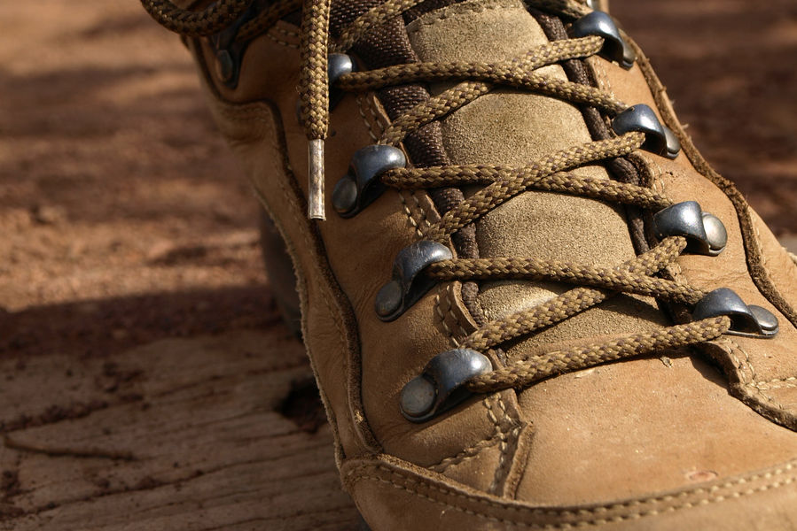
For your own safety, always take a bottle of water, a hat, warm clothing and footwear suitable for walking.Depending on weather conditions, certain itineraries are not recommended in bad weather (fog) or are not practicable, or even forbidden, during the winter season.Some sites are fragile, so stay on the marked trails. Avoid picking wild flowers and disturbing wildlife. Pick up your garbage.Animals are not allowed on some routes.
dsio.detail.animaux
Dogs must be kept on a leash due to the presence of herds.
dsio.detail.maj29 May 2026