![]()
![]()
Mont-Dore
Pédestre
 CHIEN INTERDIT
Distance : 7 km
Durée : 3h
Difficulté : Difficile
Tracé : Boucle
Dénivelé : 560 m
Balisage : Yellow
dsio.detail.telecharger
dsio.detail.accesPoint
At Le Mont-Dore, take the D983 towards “Le Sancy” (ski resort). Pay parking at the foot of the cable car.
dsio.detail.topo
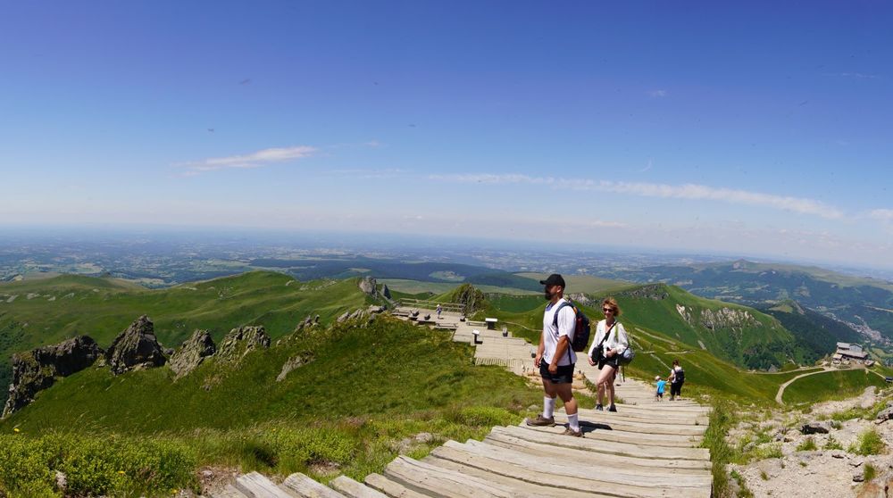
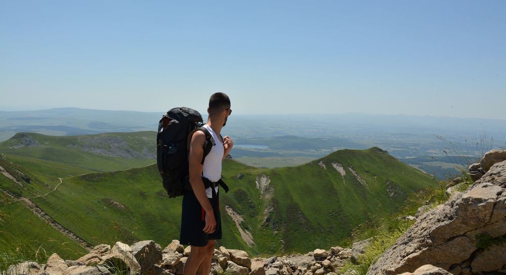
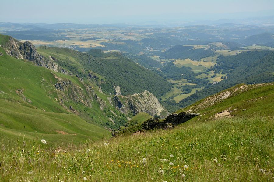
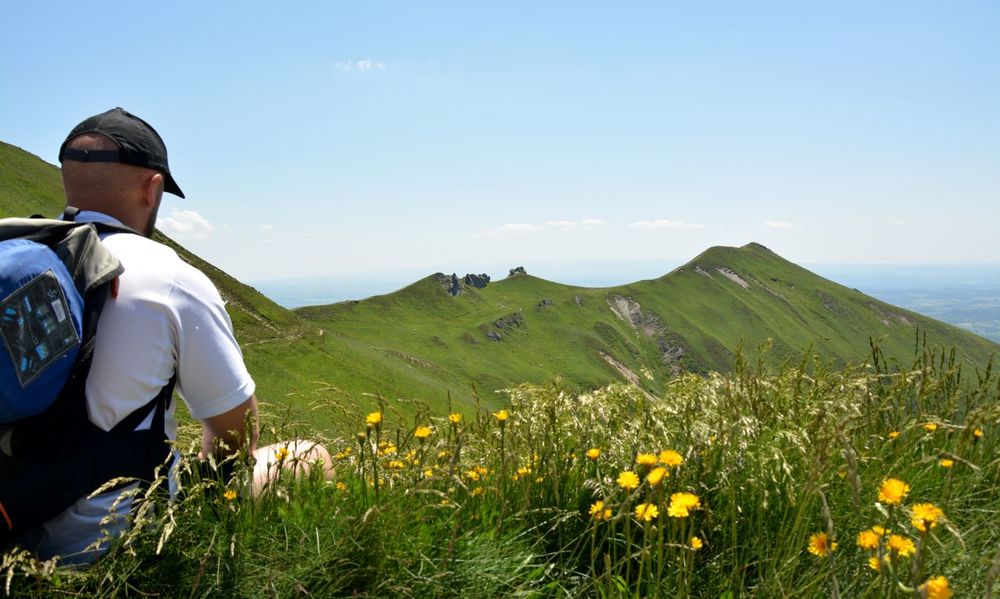
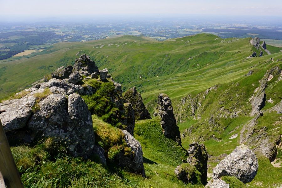
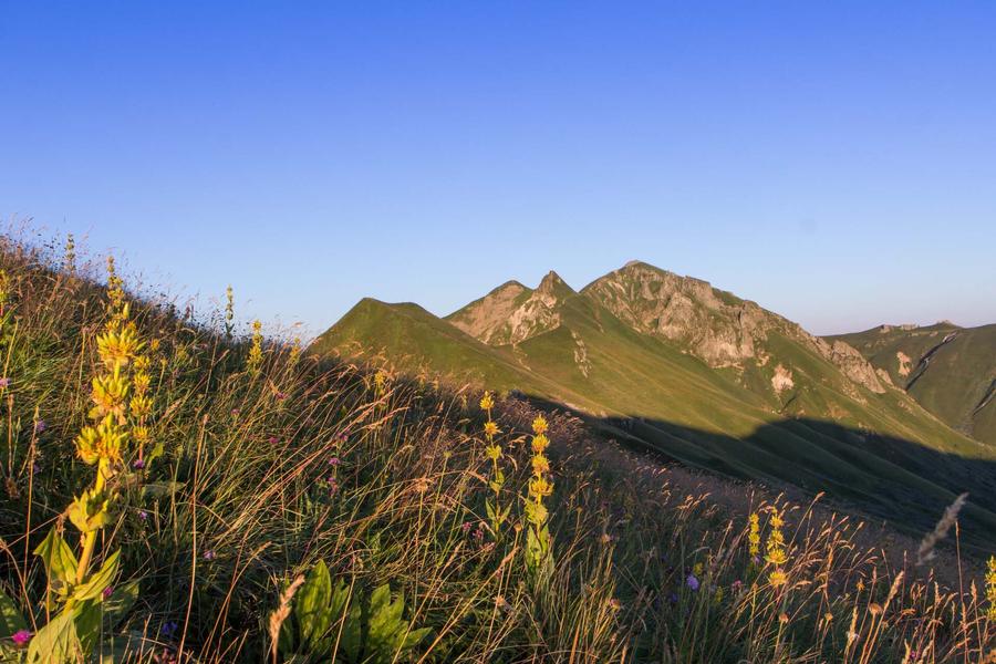
Étape 1 : Head for the ski lift on the left. At the bend, turn left, then immediately right. Pass the cairn and reach the sign ʺle Pan de la grangeʺ on a ridge. Turn right to the Col de La Cabane, then right again on the path leading to the summit of the Puy de Sancy, (the highest peak in the Massif-Central) (PV2: 360° panorama, orientation table). Descend the wooden stairs on the west side. After the flat, at the crossroads, leave the path leading to the cable car and turn left onto a steep path with a balcony overlooking the Fontaine Salée valley (PV3: orgues des aiguilles du Diable and Fontaine Salée valley) to the Col de Courre.
Étape 2 : Turn right down into the Courre valley, then continue along the valley floor. At the station, pass between two ruined burons, then turn right to reach the starting point near the cable car building.Proposed and managed by the Conseil départemental du Puy-de-Dôme – PDIPR.
dsio.detail.topo
Opening
From 01/05 to 31/10 daily.
Itinerary closed when the ski area is open.
Subject to favorable weather.
dsio.detail.complement
Mountain view, Mountain location
For your own safety, always take a bottle of water, a hat, warm clothing and footwear suitable for walking.Depending on weather conditions, certain itineraries are not recommended in bad weather (fog) or are not practicable, or even forbidden, during the winter season.Some sites are fragile, so stay on the marked trails. Avoid picking wild flowers and disturbing wildlife. Pick up your garbage.Animals are not allowed on some routes.
dsio.detail.maj29 May 2026
dsio.detail.titles.objetLien