![]()
![]()
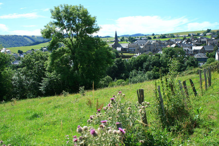
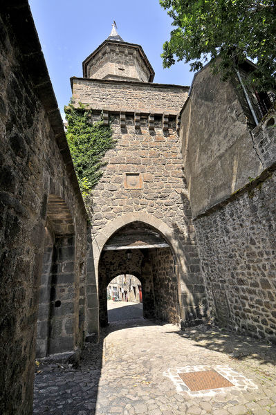
Besse-et-Saint-Anastaise
Pédestre
Distance : 10 km
Durée : 3h
Difficulté : Modéré
Tracé : Boucle
Dénivelé : 400 m
Balisage : Yellow
dsio.detail.telecharger
dsio.detail.accesPoint
From A75, exit 6, go to Besse. At the first crossroads, turn right onto the D978 towards the town center. Reach Place de l’Église.
dsio.detail.topo
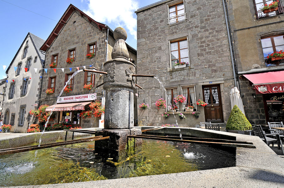
Étape 1 : From the start sign, towards the directional signs, go down the route de Clermont and the first street on the right, rue de la Charreyre Pisade. Turn right into the passage between the walls (le Rif). Near the fountain, follow the river to the stop sign on the D149.
Étape 2 : Cross the road to take the asphalt road to Thiaulaire, then take the first path on the left (signposted sentier de la Retraie). At the fork in the road, go straight up, then, at the first houses in Thiaulaire, take the path on the left (old pailhats planted with beech trees) towards the Chiloza and Ourcière waterfalls. At the T junction, turn right, then 200 m further on, at the crossroads (off the route: AR to the Chiloza waterfalls), go straight on to Ourcière (communal oven).
Étape 3 : From Place du Four, head down towards the village exit. At the fork in the road, turn right onto the small tarmac road, then right again, then left, and go straight up the forest track overlooking the Vaucoux stream. Stay left at the fork. Pass the stepladder and immediately turn left onto the path between the drystone walls. At the end of the pasture, ford the stream, go right for a few metres and turn left at right-angles. Climb along the meadow, enter the forest and cross the stepladder. Zigzag up the steep slope. The path veers right, then climbs left to join the D633.
Étape 4 : Turn right downhill for 1 km, pass the Vaucoux farm and take the downhill path on the right. Ignore the paths on the right and ford the stream. At the next fork in the road, turn left and go straight ahead until you reach a small tarmac road (with views of Besse and the Sancy massif); take this road on the left as far as the village of Combes. Pass the Saint Roch chapel; continue straight ahead on the road, then turn right towards Mauberte. Take the left-hand path. At the first houses, turn left into rue de la Croix de la Combe, then right into rue de Bruyères as far as the stop sign. Cross the D149 and take the passage between the houses opposite. Turn right, then take the second left (rue des Prés de Ville). Drive along the cemetery, then right up to the church.Proposed and managed by the Conseil départemental du Puy-de-Dôme – PDIPR.
dsio.detail.topo
Opening
From 01/01 to 31/12 daily.
Subject to favorable weather.
dsio.detail.titles.equipements
dsio.detail.complement
Mountain view, Presence of livestock and guard dogs
For your own safety, always take a bottle of water, a hat, warm clothing and footwear suitable for walking.Depending on weather conditions, certain itineraries are not recommended in bad weather (fog) or are not practicable, or even forbidden, during the winter season.Some sites are fragile, so stay on the marked trails. Avoid picking wild flowers and disturbing wildlife. Pick up your garbage.Animals are not allowed on some routes.
dsio.detail.animaux
Dogs must be kept on a leash due to the presence of herds.
dsio.detail.maj29 May 2026