![]()
![]()
Mont-Dore
Pédestre
Distance : 5.1 km
Durée : 2h
Difficulté : Modéré
Tracé : Aller-retour
Dénivelé : 121 m
Balisage : Yellow signs (Chamina).
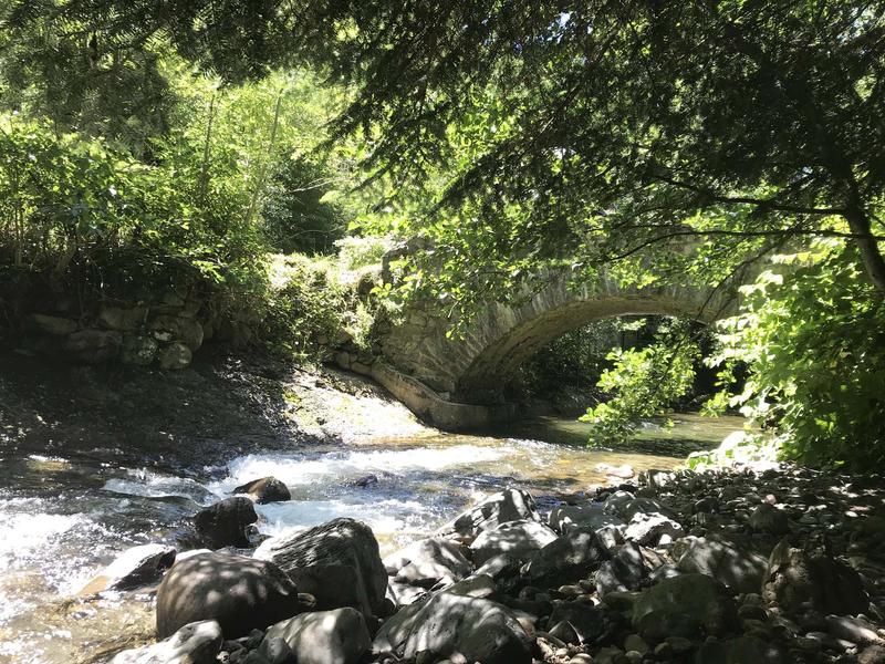
The Dordogne River
The Dordogne rises on the northern flank of the Puy de Sancy at an altitude of 1366 m, where two small mountain streams, the Dore and the Dogne, meet. It then flows through Le Mont-Dore and La Bourboule before heading for the Gironde, 483 km away.
Since 2012, the Dordogne basin has been part of UNESCO’s world network of biosphere reserves.
The source of the Dordogne lies at the foot of the Puy de Sancy in the resort of Le Mont-Dore. In summer, it’s a 20-minute walk from the resort parking lot.
dsio.detail.telecharger
dsio.detail.accesPoint
Parking lots on Avenue de La Bourboule, near the bus stop.
dsio.detail.topo
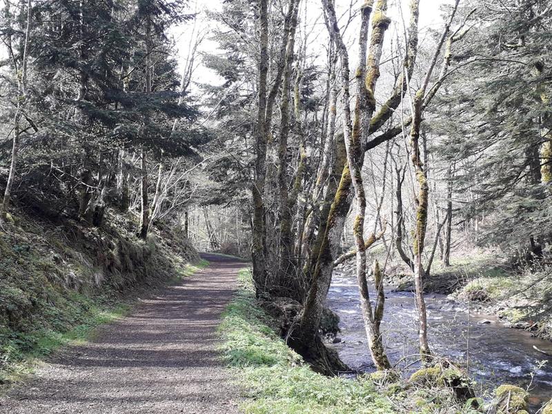
Étape 1 : At the Marais bridge, take the right-hand path at the level crossing.
Étape 2 : Follow the Dordogne river to the left, following signs for “La Vernière”.
Étape 3 : Cross the bridge over the Dordogne and continue along the path up to the village of Le Genestoux, before descending to the river.
Étape 4 : Continue along the Dordogne to the end of the path at La Vernière.
Étape 5 : Turn around and retrace your steps along the same path back to your starting point.
dsio.detail.topo
Opening
From 01/01 to 31/12/2026 daily.
dsio.detail.titles.equipements
dsio.detail.complement
Riverside, Forest location, Waterside
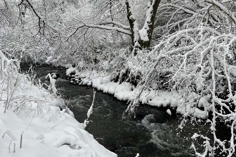
Bring hiking boots, even small crampons in case of icy conditions.
Bring 3 layers of clothing as the trail is in undergrowth.
Not suitable for baby carriages.
dsio.detail.animaux
Dogs are allowed, but must be kept on a leash for the peace and quiet of all users.
dsio.detail.maj20 April 2026