La Sapinière hike

Murat-le-Quaire

Pédestre

Distance : 5.3 km

Durée : 2h

Difficulté : Modéré

Tracé : Boucle

Dénivelé : 223 m

Balisage : Yellow signs (Chamina).

Randonnée La Sapinière_Mont-Dore
A pretty, varied loop through forests and mountain pastures, with beautiful views of the Puy de Sancy, La Banne d’Ordanche and the Haute Dordogne valley.

On this itinerary, you’ll pass by the reconstruction of a tra.
Tras were temporary dwellings, used for summer pastures before the advent of burons. Very little remains of these little-known constructions. The Auvergna’ttitude collective of guides, with the support of the DRAC, is passionately committed to reconstructing an Auvergnat tra on this site.

dsio.detail.accesPoint

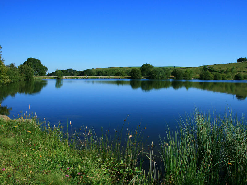
Parking next to the Pré Cohadon lake.

dsio.detail.pointDepart

dsio.detail.topo

Étape 1 : From the parking lot at the lake, take the path between the road and the lake. You can walk around the lake before continuing along the path (30 minutes more). Continue along the fitness trail to the Chalet de la Banne.

Étape 2 : Take the path that climbs up behind Chalet de la Banne, following the “La Paillère” signs. At the first intersection, turn right and follow the signs for “La Sapinière”.

Étape 3 : 30 m before you reach the road, take the path that climbs to the left. When you reach the route de la Banne, turn left and climb along the road to the upper Paillère, 50 m after the aeromodel parking area.

Étape 4 : Take the path to the right, towards the estives, skirting the tras on your right, and continue straight on until you reach the forest.

Afficher les étapes suivantes…

Étape 5 : Follow the forest path straight down to the Chalet de la Banne and join the path along the fitness trail to the parking lot.

dsio.detail.topo

Étape 1

From the parking lot at the lake, take the path between the road and the lake. You can walk around the lake before continuing along the path (30 minutes more). Continue along the fitness trail to the Chalet de la Banne.

Étape 2

Take the path that climbs up behind Chalet de la Banne, following the “La Paillère” signs. At the first intersection, turn right and follow the signs for “La Sapinière”.

Étape 3

30 m before you reach the road, take the path that climbs to the left. When you reach the route de la Banne, turn left and climb along the road to the upper Paillère, 50 m after the aeromodel parking area.

Étape 4

Take the path to the right, towards the estives, skirting the tras on your right, and continue straight on until you reach the forest.

Étape 5

Follow the forest path straight down to the Chalet de la Banne and join the path along the fitness trail to the parking lot.

Opening

From 01/01 to 31/12/2026 daily.

dsio.detail.titles.equipements

  • Health trail
  • Pets welcome
  • Picnic area
  • Play area
  • Public WC

dsio.detail.complement

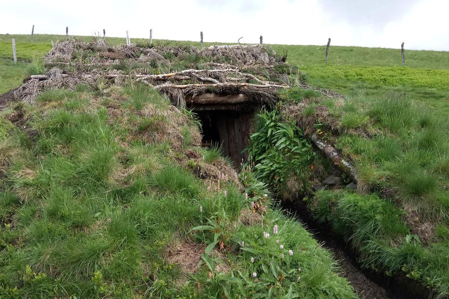
Forest location, Lakeside or by stretch of water, Waterside

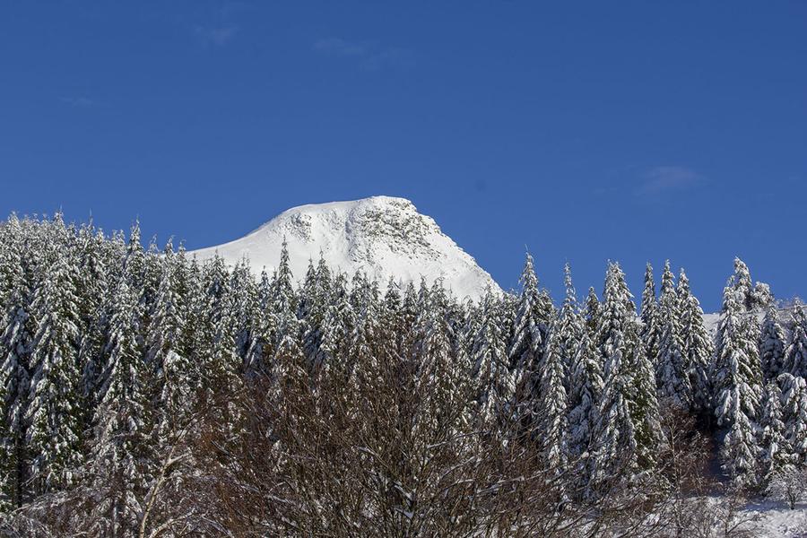
In winter, we advise you to wear hiking boots and take walking sticks. Avoid foggy weather.
Not suitable for baby carriages.

dsio.detail.animaux

Dogs are allowed, but must be kept on a leash for the peace and quiet of all users.

La Sapinière hike Plan d’eau du Pré Cohadon
63150 Murat-le-Quaire

04 73 65 53 13

E-mail

Website

dsio.detail.maj22 May 2026

dsio.detail.titles.objetLien