![]()
![]()
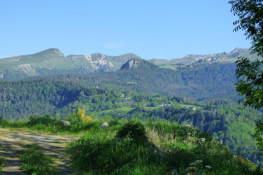
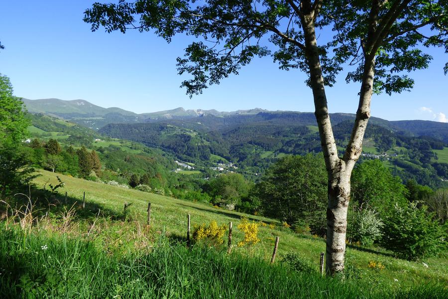
Murat-le-Quaire
Pédestre
Distance : 7.6 km
Durée : 2h30
Difficulté : Modéré
Tracé : Boucle
Dénivelé : 307 m
Balisage : Yellow signs (Chamina).
dsio.detail.telecharger
dsio.detail.accesPoint
Parking right in front of Chalet de la Banne
dsio.detail.topo
Étape 1 : From the Chalet de la Banne, take the climb towards Pallière. Once up, turn right to the La Sapinière sign and continue to the La Redonde sign.
Étape 2 : Cross the road and follow the signs for La Vernouze. Turn right downhill towards Les Pans. Continue downhill to Les Buges.
Étape 3 : Turn right towards the hamlet of Usclade. Turn right onto the road and follow it to Les Rivaux.
Étape 4 : Leave the road and take the path on the right towards La Gacherie (800 m uphill). Go through the small hamlet of La Gacherie towards Les Verdas. At the end of the hamlet, go straight on for 200 m and take the path which rises to the right (yellow arrow and no-vehicle sign).
Étape 5 : Cross the La Banne housing estate to the Les Verdas sign. You are now close to the start parking lot.
dsio.detail.topo
Opening
From 01/01 to 31/12/2026 daily.
dsio.detail.titles.equipements
dsio.detail.complement
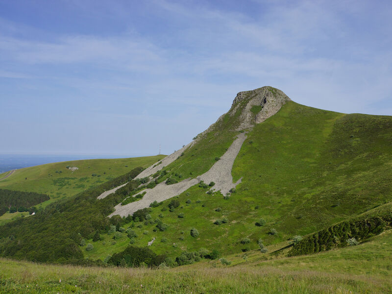
Forest location, Mountain view
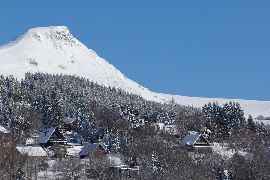
In winter, we recommend wearing waterproof hiking boots.
Toilets, picnic area and playground 1 km away at Lac du Pré Cohadon.
Not suitable for baby carriages. In summer, the Banne d’Ordanche is a summer pasture with herds and patous. Keep your dog on a leash. See our “Prepare your hike” page for advice on how to deal with patous and a map of estives.
dsio.detail.animaux
Dogs allowed, always on a leash for the peace and quiet of all users. Mountain pasture area.
dsio.detail.maj20 April 2026
dsio.detail.titles.objetLien