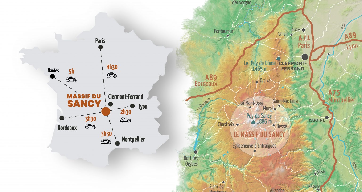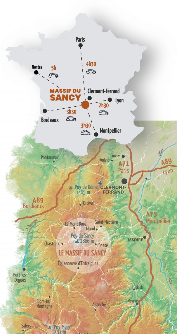
Crédits photo bandeau Carte de situation du Massif du Sancy par rapport aux axes autoroutiers
In Auvergne, in the center for France, the Massif du Sancy allows you to access after only few hours, summer or winter, a at medium mountain land, for families holidays or with friends. So, it is super easy for you to practice a large rage of activities.
Regular flights from France with airlines such as Air France, Air Corsica, Ryanair - Paris, Porto, Ajaccio
Thanks to the numerous flights operated every day, connections all over the world are available, via Paris, from Clermont-Ferrand.
Lyon St Exupéry Airport
100 direct destinations across France, Europe and the rest of the world.
www.lyonaeroports.com
Limoges International Airport
11 direct destinations in France (Paris Orly and Lyon) and England
www.airportlimoges.com
Brive Vallée de La Dordogne Airport
5 direct destinations in France and Europe
www.aeroport-brive-vallee-dordogne.com
Many train lines serve the station of Clermont-Ferrand, from Paris, Nevers, Lyon, Roanne...
Length of Paris-Clermont-Ferrand train journey: approximately 3.5 hours
Length of Lyon-Clermont-Ferrand train journey: approximately 2.5 hours
From the Clermont-Ferrand train station, bus links are available to the stations of Le Mont-Dore and La Bourboule.
Info and details to SNCF (French train association)
www.sncf.com
At the crossroads of big motorway connections (A71-A72-A75-A89), you can easily go to the Massif du Sancy and rapidly: the Massif du Sancy is 45 minutes away from Clermont-Ferrand. The Massif du Sancy is just a 2h drive from Limoges, 2h30 from Bourges and Lyon, 3h from Orleans, 3h30 from Bordeaux and Poitiers and 4h from Paris and Montpellier.
The Massif du Sancy, an easily accessible destination!

The Massif du Sancy, an easily accessible destination!

A89: Bordeaux, Brives, Ussel, Clermont-Ferrand. Take exit 25 (Saint-Julien/Massif du Sancy) and then follow La Bourboule/Le Mont-Dore.
A75: Montpelier, Saint-Flour, Issoire. Take exit 14 (Issoire) and then follow Besse/Saint-Nectaire/Massif du Sancy.
A72/89: Lyon, Saint-Etienne, Clermont-Ferrand. To go to La Bourboule or Le Mont-Dore, take exit 3 (Aubière) on the A75 and then take the D2089 direction Bordeaux. To join Besse, Murol, Saint-Nectaire and Chambon, follow the A75, exit 6 (Besse/champeix), then follow Besse/Saint-Nectaire.
A71: Paris, Orleans, Bourges, Clermont-Ferrand. To go to La Bourboule and Le mont-Dore, take the A89 direction Bordeaux exit 25 (Saint-Julien/Massif du Sancy). To come to Besse, Murol, Saint-Nectaire and Chambon, take the A75 exit 6 (Besse/Champeix) and then follow Besse/Saint-Nectaire
A10: Orleans, Châteauroux, Limoges. Take exit 45, join the RN120 and then take the A89 exit 25 (Saint-Julien/Massif du Sancy). Then follow La Bourboule/Le Mont-Dore.
Some advice for driving in winter
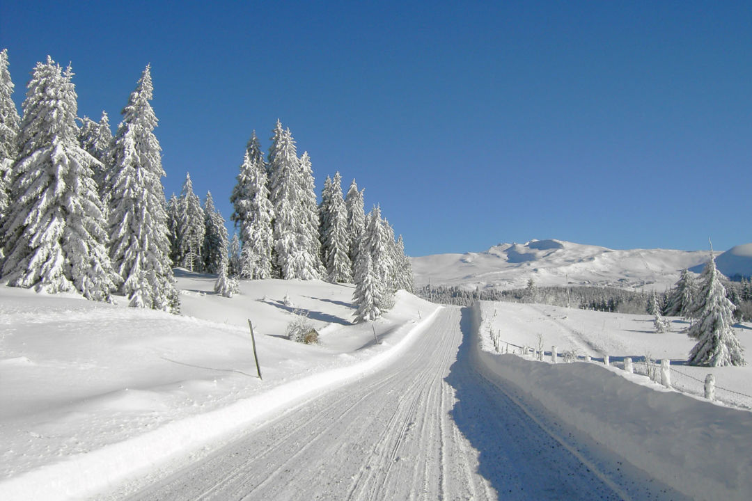
Make sure that you have snow tires or chains adapted for your vehicle in case of need. Put on your dipped headlights, reduce your speed, keep a safe distance and break gently. Give priority to snowploughs and drive behind them; do not overtake. We wish to remind you that overtaking snow removal vehicles on the road is strictly prohibited.
Traffic conditions: www.puy-de-dome.fr
The roads are cleared quickly, but your vehicle must be equipped with winter tires or you must have chains in your trunk from November 1 to March 31.

Snowy roads, think equipment and road conditions
Garage du Centre (ADA) in Mont-Dore: +33 (0)4 73 65 09 47
Intermarché supermarket in Murat-Le-Quaire: +33 (0)4 73 81 04 66
Bus Line P46 Clermont-Ferrand / La Bourboule / Le Mont-Dore / Ussel
Bus line P74 – Clermont-Ferrand / Besse / Super-Besse
Bus line C08 – Clermont-Ferrand / Besse / Egliseneuve d’Entraigues / Riom-Es-Montagne
Bus line P44 – Issoire / Saurier / Besse
Bus line P 50 - Saint-Genès-Champespe – Bort les Orgues
