![]()
![]()

Crédits photo bandeau View of the Massif du Sancy from the Cézallier
High, rolling plateaus without a soul in sight, uninterrupted views of the Massif du Sancy to the north and the Volcanoes of Cantal to the south, lakes along the way, unspoilt nature galore... That’s what awaits you on your exploration of the Cézallier! Depending on the time of year, you may also see the famous red cows of the Salers breed. They feature on signs for the GR trail, as well as in the pastures.
In Sancy, the Tour des Vaches Rouges trail in the Cézallier crosses the villages of Egliseneuve d’Entraigues, Espinchal, La Godivelle and Montgreleix before heading into the Cantal part of the Cézallier region.
Tips
There are 3 options for this 5 to 8-day hiking route:

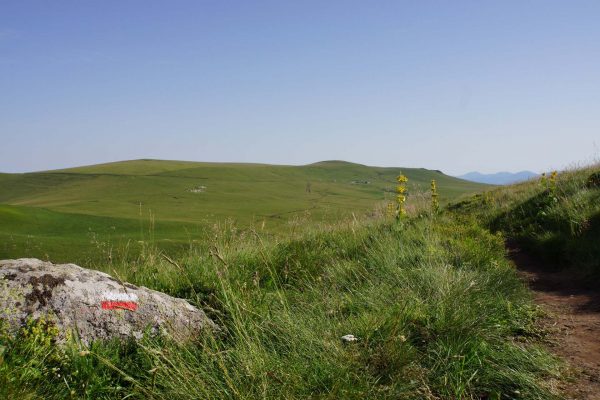
Hiking on the GRP® des Vaches Rouges

GRP® Tour des Vaches Rouges signposting in the Cézallier

Hiking on the GRP® des Vaches Rouges
Allow 5 days to complete the West loop from Egliseneuve d’Entraigues and also for the East loop. If you’re really up for a hiking challenge, the complete itinerary will take you 8 days.
Your best companion for this long-distance hike is the Monts du Cézallier / PNR des Volcans d’Auvergne Top 25 IGN map, available online and in bookshops.
Tips
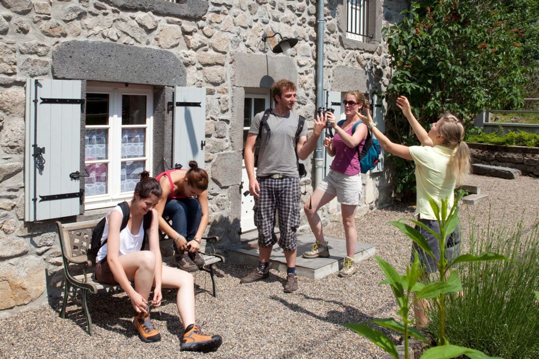
On your long-distance hikes, have your bags transported for you:
Porterage

Map of Tour des Vaches Rouges trail, Cézallier
Find accommodation for the night near the Tour des Vaches Rouges trail. In Sancy you'll also find provisions and restaurants at various places within 1.5km of the Tour des Vaches Rouges trail in the Cézallier.
Adopt a code of good practices:

Lake d'En-Bas in La Godivelle
Bivouacking is tolerated on long-distance hiking trails with the prior consent of the property owner.
Be aware, however, that bivouacking is not allowed in the Sagnes de la Godivelle National Nature Reserve.

Bivouac on a long-distance trail
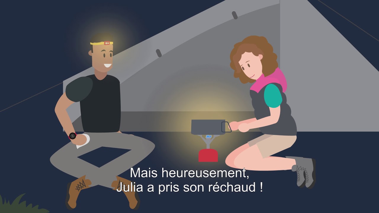
"The Bivouac sans couac" by the Regional Nature Parks of Auvergne-Rhône-Alpes
You also like...